
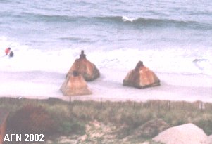
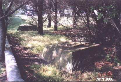
 Remains of one of three communication towers. (see below) |
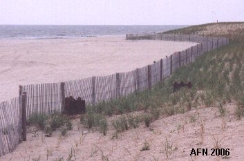 Same site now mostly buried behind the fence. |
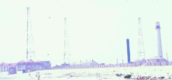 3 Navy tripod radio towers in 1965. (courtesy of Cape May Point State Park) Left - washed away / Middle - N 38°55.898 W074°57.556 / Right - N 38°55.960 W074°57.597 | |
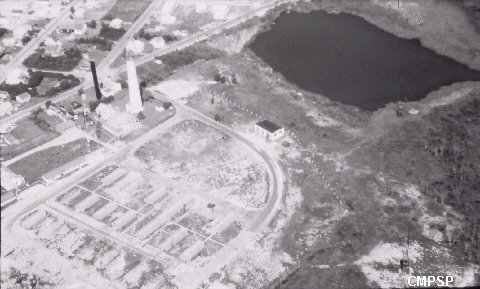 1940's aerial view of the barracks area (now the parking lot). (coutrtesy of Cape May Point State Park) |
 Another Navy tower site near the lighthouse. |
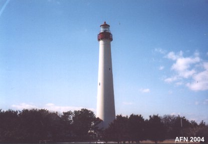 Cape May Lighthouse - N 38°55.980 W074°57.623 (USCGS) |
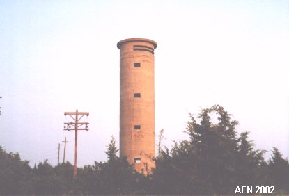 Tower 23 at Sunset Beach. N 38°56.608 W074°58.022 |
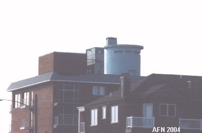 Tower 24 at the Grand Hotel which was built around the tower. |
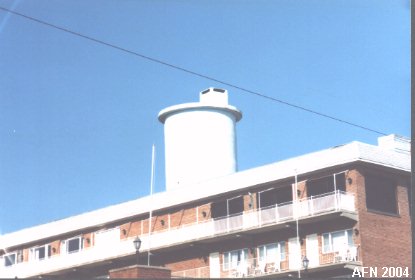 Another view of Tower 24. N 38°55.985 W074°54.480 |
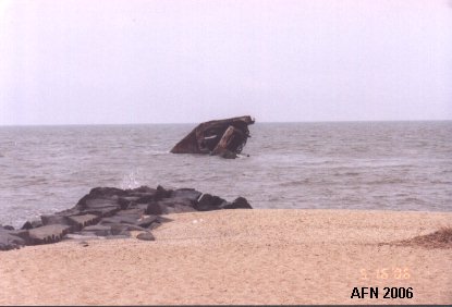
Remains of the concrete ship "Atlantus" at Sunset Beach.
 |
|

